Our History
Uganda
Official Name: Jamhuri ya Uganda (Swahili);
Republic of Uganda (English)
Total Area (Sq Mi.): 93,265
Population(2020 est.): 41,584,000
Location: East-central Africa, about the same size as Great Britain
Capital: Kampala
Monetary Unit: Ugandan shilling (UGX)
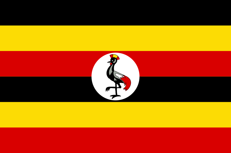
The flag of Uganda was adopted in 1962 when it became independent from the British empire. The grey crowned crane in the middle is a national symbol recognised for its gentle nature. There are over 20 indigenous languages spoken in Uganda and most people can speak more than one. French, English, Swahili and Ganda are most commonly used. Burganda, one of the small principalities of Bantu speaking people in now part of Uganda. The cultural patterns of Bantu speaking peoples are extremely diverse. The population is over 42m with over 75% of people living in rural settings. Kampala the capital is built around seven hills not far from the shores of Lake Victoria.
Lake Victoria, a reservoir for the Nile, is one of the largest lakes in Africa and is mainly in Uganda and Tanzania, bordering Kenya. Uganda has a UNESCO site where gorillas are kept, Mgahinga National Conservation Park. Other world heritage sites are Murchison Falls, Bwindi Impenetrable Forest and Ruwenzori Mountains National Park.
Agriculture accounts for a large part of Uganda’s export earnings. But it has vast resources: cattle ranching, diary farming, timber (deforestation is now a problem), copper, cobalt, iron ore, phosphate, petroleum and gold. Gold has also been smuggled in from the Democratic Republic of Congo and it’s estimated in a UN report that 95% of gold exports (25 tonnes) were not of Ugandan origin. In 2019 the energy minister did not respond to a request to comment on the report.
In 1972, 40000 South Asians were expelled from Uganda by Idi Amin who was president at the time. The country has more than 620 miles of rail line that is rarely used by the public now.